The NOAA Marine Debris Program has all of the tools to engage partners and volunteers around the world to survey and record the amount and types of marine debris on shorelines.
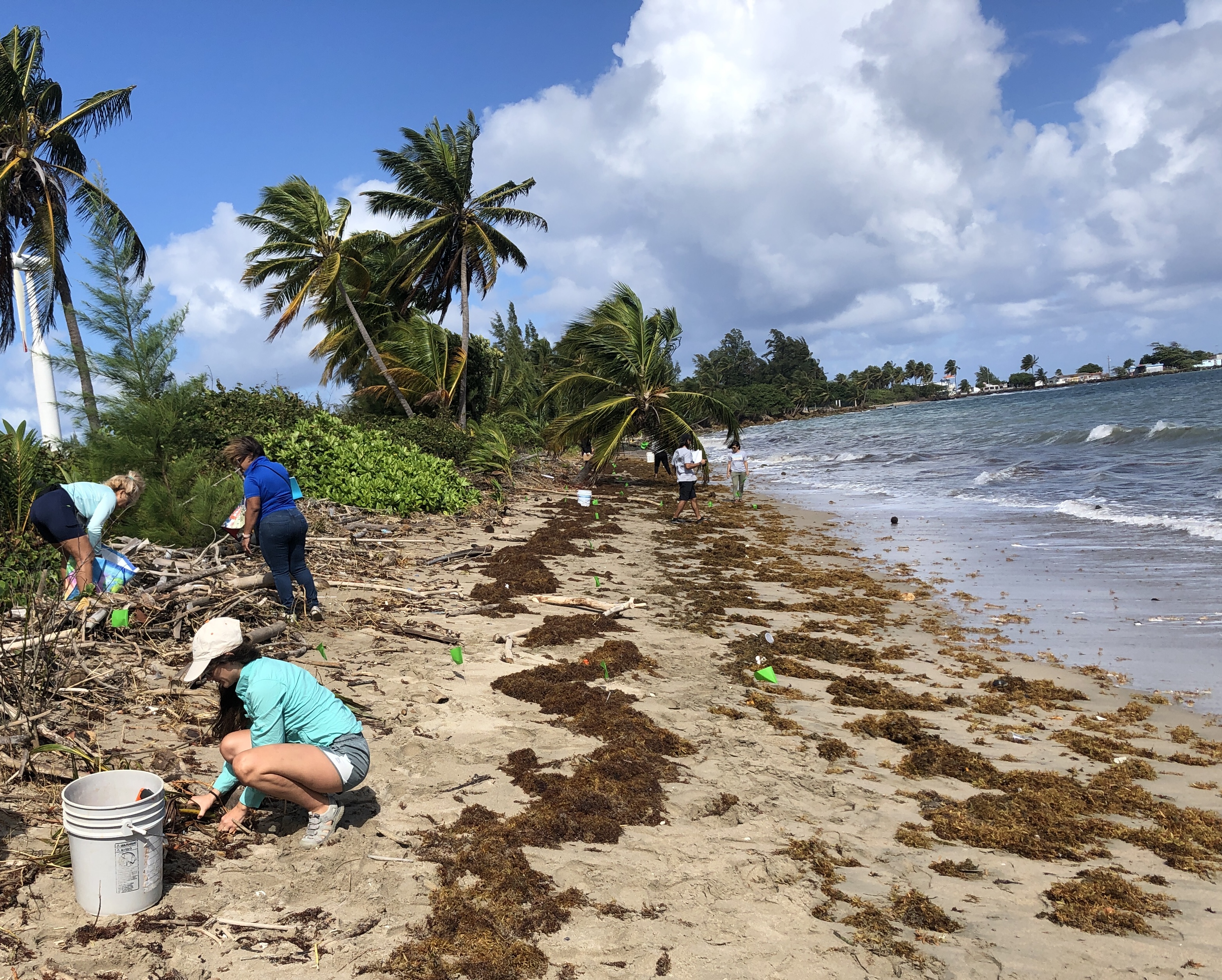
Public participation in science goes by many names (“citizen science,” “community science,” and “volunteer monitoring” to name a few) and takes many forms. Through the NOAA Marine Debris Monitoring and Assessment Project (MDMAP), the NOAA Marine Debris Program partners with the public to conduct surveys. These surveys are valuable scientific tools that are used to identify ways to prevent and track progress toward reduction of marine debris. Conducting a marine debris survey is also an engaging and empowering way to gain firsthand experience with the issue, while collecting authentic scientific data!
How do you survey and record marine debris data? You don’t have to be a scientist in order to contribute to science about marine debris. All you need is access to a shoreline! MDMAP was designed for you to get involved, and the monitoring toolbox has everything you need. Here’s how to get started:
Start by reviewing our tutorial series.
Review the protocol documents and field datasheets.
Decide if you want to survey an existing active site, rejuvenate a historical site, or start a new site in your area. There’s a map in the toolbox!
Request an account if you’ll be entering data. MDMAP staff is here to help!
Reach out to md.monitoring@noaa.gov with any questions.
Head out to your local beach and begin surveying!
.")
.")
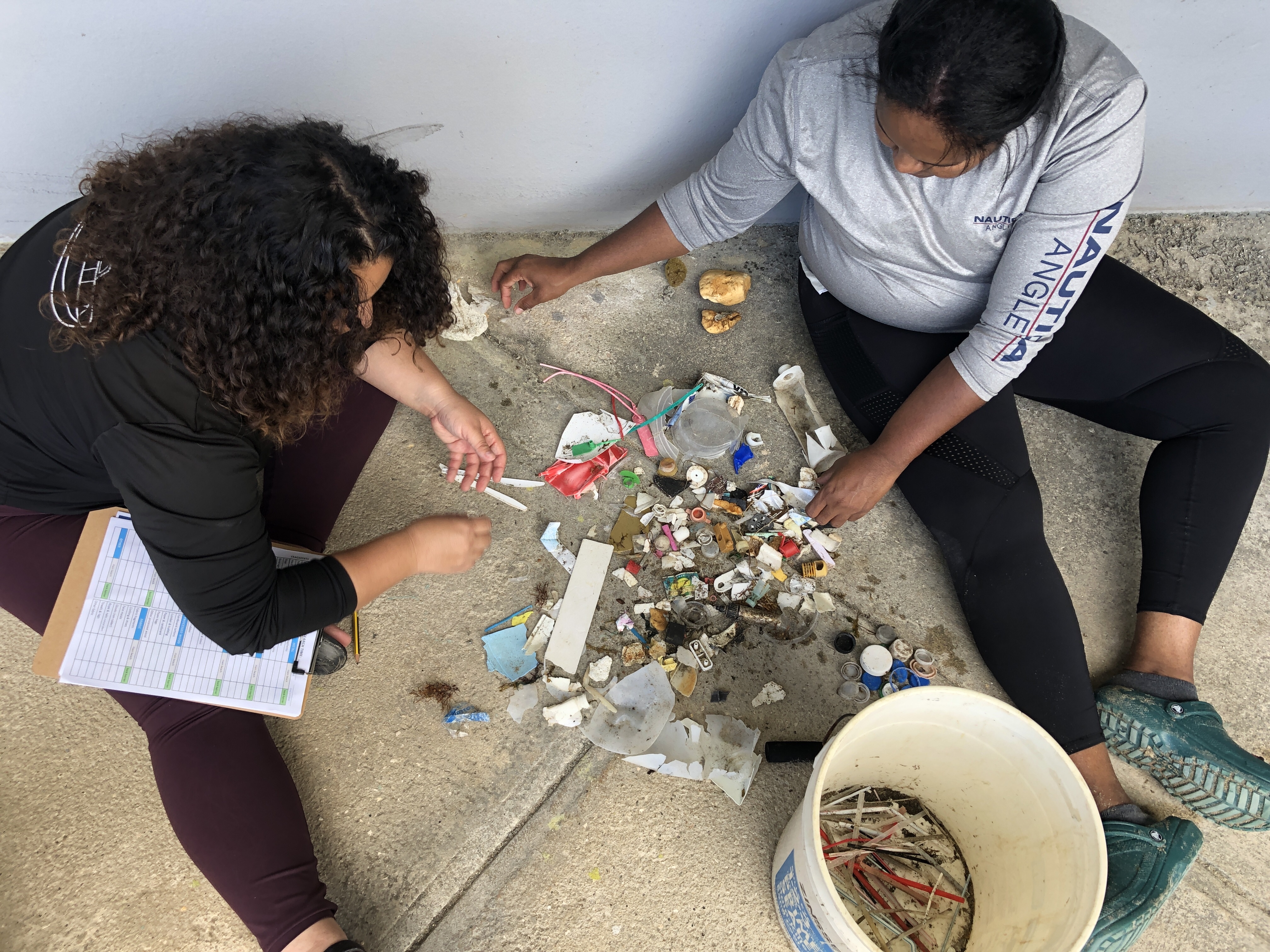
So you’ve used the tools, but what happens to the data? Data goes into a publicly accessible database so your findings can be explored and reused by others. Automated data visualizations are generated to instantly identify top items, amounts, and differences in reportings over time. You can also learn more about an item you found while surveying and explore other survey sites.
Who uses the data? Data is often used by the people who collect it to inform local actions. Some people survey a local beach they care about to make sure their shoreline is represented in the larger picture of policy and education. It is also used by researchers looking to understand patterns and sources of marine debris, and to evaluate the effectiveness of the actions in place to help prevent or remove marine debris. In the monitoring toolbox, you can also see examples of the peer-reviewed scientific publications, marine debris prevention projects, reports, and student projects that incorporate MDMAP data.
Now that you have the tools to tackle marine debris, it’s time to get out in the field and start spring cleaning!