
By: Sherry Lippiatt, California Regional Coordinator for the NOAA Marine Debris Program
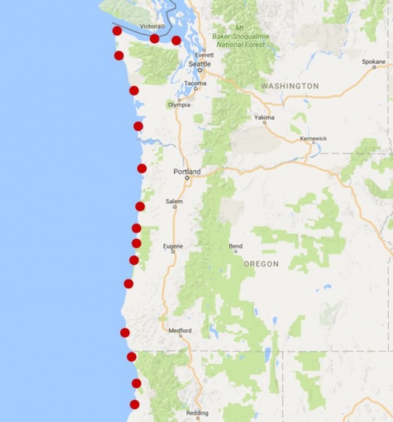
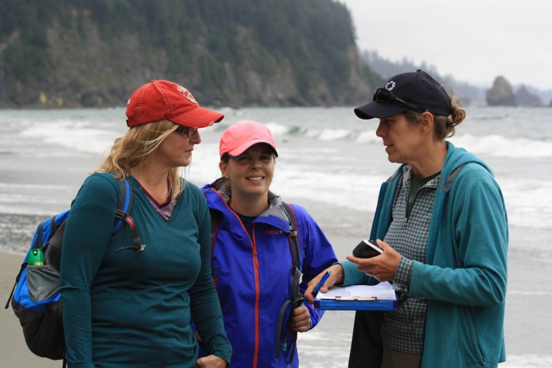
On July 15th, an intrepid group of shoreline survey enthusiasts departed Seattle for nearly a week on the road. The mission: to spend a full six days surveying West Coast beaches for marine debris. The goal of this “surveypalooza” was to compare shoreline survey methodologies developed by the NOAA Marine Debris Program (MDP; for the Marine Debris Monitoring and Assessment Project, or “MDMAP”) and the Australian Commonwealth Scientific and Industrial Research Organisation (CSIRO). All told, our team of eight (including staff from the MDP, CSIRO, and the Ocean Conservancy) completed 26 individual monitoring surveys at 16 shoreline sites located approximately every 100 km along the coasts of Washington, Oregon, and Northern California.
Monitoring shorelines for marine debris can help answer some important questions, such as: how big is the marine debris problem, and how is it changing over time? Or, what types of debris are most common in a region? There are a lot of questions that drive monitoring efforts, but developing a standardized monitoring protocol is not so straightforward. Considerations such as the minimum size of debris that is recorded, the area of the shoreline that’s sampled, and how debris items are classified can all impact whether results from two different studies can be compared (yes, there are MANY different ways to count trash on shorelines!). By comparing and contrasting data collected at the same shoreline locations using both the NOAA and CSIRO methods, we can better understand differences between the two types of surveys and develop ways in which to improve data collection protocols and make data sets compatible with one another for analysis. Data compatibility allows us to incorporate results from studies in other regions to tell a larger story about the types, abundances, sources, and drivers of marine debris.
“Surveypalooza” was just one part of CSIRO’s ongoing analysis of MDMAP and Ocean Conservancy International Coastal Cleanup data. The project is working to put all of the largely volunteer-collected MDMAP data into one model to assess debris at broader regional and national scales. Stay tuned for more results!
Interested in collecting marine debris data for NOAA? Check out the MDMAP Get Started Toolbox or the Marine Debris Tracker App for more details.
")
")
")