
Put on your flip-flops and let’s head to the beach! This week we are celebrating Clean Beaches Week and all of the great work our Marine Debris Monitoring and Assessment Project (MDMAP) participants are doing. Beaches (especially clean beaches) are important for many reasons, such as providing habitat for animals. Did you know that some species of birds make their nests right on sandy beaches? Beaches are also important areas for marine mammals to rest. For humans, beaches are a place to relax and recreate. Beaches drive the economies of many coastal communities that depend on tourism to make a living. People care about beaches for different reasons and this week we wanted to hear from our partners to understand why their beach is so important and what drove them to start monitoring for marine debris in the first place.
“The issue of marine debris is pressing for our oceans and it’s something I see each day, whether on the beach doing surveys, or just watching garbage all around our streets - this is a HUGE problem with a clear personal connection to people and a spectrum of easy solutions for the public to engage in through their everyday decisions. I am always dedicated to any work that will help lead to solutions to the problem.”
This quote from Kate Bimrose with the Greater Farallones Association explains her motivation for participating in the MDMAP. From pristine beaches littered with debris, to urban centers with overflowing trash cans, marine debris affects us all, no matter how far from the ocean or Great Lakes you live. The MDMAP is a data-driven opportunity for coastal organizations and individuals to get involved in grassroots efforts to address marine debris in their communities.
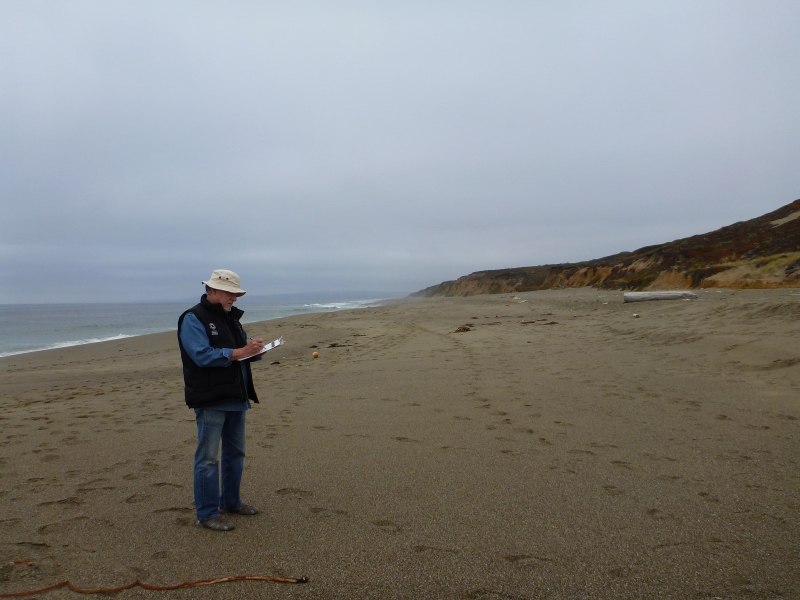
In honor of Clean Beaches Week, we’d like to recognize our incredible group of MDMAP participants that have been monitoring shorelines and submitting data to NOAA since 2012. More than 370 shorelines have been monitored to date, across 20 U.S. states and 9 different countries. In some cases, our partners have incorporated the MDMAP protocol into existing beach cleanup efforts, as Debbie Wingfield with the Volusia County Florida Manatee Protection Program describes, “I was already teaching marine debris to high school students through our county's [Investigating Biomes in Science] program. During these presentations the kids would also do a cleanup at the location. When I found out about MDMAP, I figured we might as well be documenting the debris we remove and this was a great way to do it. The kids enjoy being a part of a NOAA project.” If you have a school group interested in marine debris data collection, check out the Marine Debris Monitoring Toolkit for Educators.
The data compiled by MDMAP participants is made available to organizations and researchers interested in developing informed prevention efforts, like Win Cowger from the University of California Riverside, who uses the MDMAP database because of the “need for high quality data to use to drive change in policy and management of marine debris.”
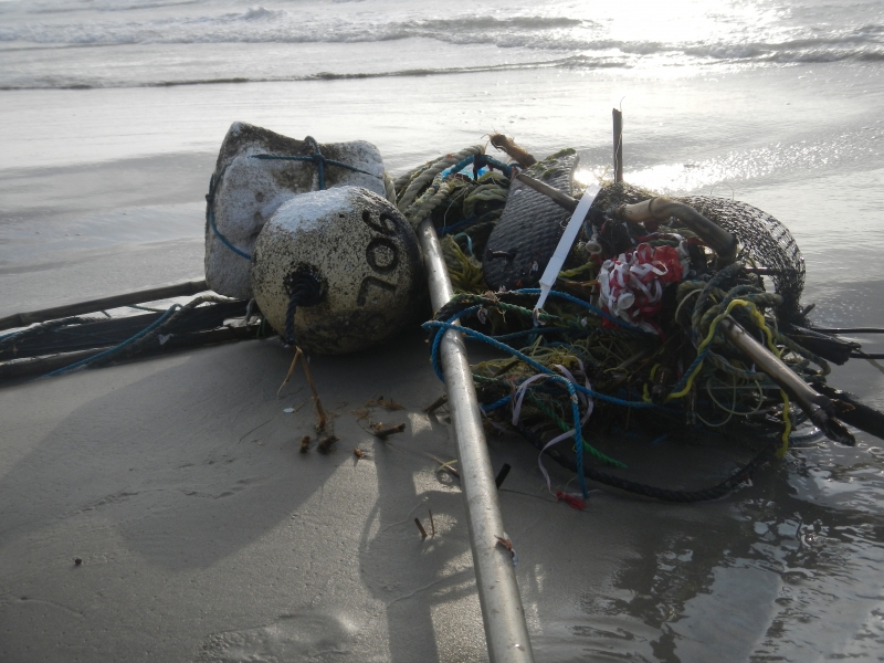
In addition to gathering valuable data, MDMAP is an opportunity to raise awareness among participants and volunteers, who learn a lot about the issue through the first-hand experience of documenting the debris types on their local shorelines. Katie Swanson with the Mission-Aransas National Estuarine Research Reserve was interested in the project after “Being surrounded by marine debris on a daily occurrence, and not knowing much about it.” Katie led MDMAP surveys on the Texas coast for two years, and was a coauthor on a 2019 publication, “Accumulation and distribution of marine debris on barrier islands across the northern Gulf of Mexico”.
A group of capstone students from Santa Clara University recently compiled the entire MDMAP dataset to create a timelapse video that shows the location of every survey and relative amount of debris recorded. The timelapse brings home the reach of the MDMAP network and unwavering dedication of some our longer-term participants.
We are truly humbled by each and every MDMAP volunteer, and we wish you sunny skies and pleasant weather on your surveys this Clean Beaches Week!